Statewide Geology Data for Minnesota
Geology Home |
County/Regional |
Statewide |
National/International |
Educational Info
Most of the geologic GIS information described on this webpage is statewide in scope and is generally 1:500,000 to 1:1,000,000 in scale.
- Bedrock and Quaternary Geology and Hydrogeology
- Additional Maps: Current and Historic
- Mineral / Industrial Mining
- Aeromagnetic
Bedrock and Quaternary Geology and Hydrogeology
Minnesota Geological Survey
State Map Series: These maps are part of the MGS "State Map Series". Scales are 1:500,000 to 1:1 million.
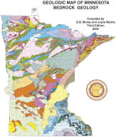
- Bedrock Geology - Map S-21
- Bedrock Hydrogeology - Map S-2
- Depth to Bedrock - Map S-14
- Quaternary Geology
- Map S-23 (newer): The GIS data is more detailed than the map and will be updated as new mapping is completed
- Link to PDF map and metadata
- Link to GIS data (click the link icon to the right of the find address box)
- Map S-1 (original): Link to PDF map, GIS data, and metadata
- Quaternary Hydrogeology - Map S-3
Online Map Services: MGS is in the process of migrating maps and digital information to online versions in an effort to increase accessibility and provide for more general use. They are doing this through web-enabled map services. Services offer access to some State Map Series maps and mosaics of more recent, high-resolution data sets.
U.S. Geological Survey
-
Geologic maps of US states
Geologic units and structural features across the US provided as an interactive map, web mapping services, and direct data downloads. Browse to Minnesota-specific data download or select the Minnesota geographic area listed on the map navigation pane.
- See also the Mineral Resources Online Spatial Data Map, which broadens the map data to include minerals, geochemistry, and geophysics. Browse the USGS Mineral Resources Spatial Data Catalog results for Minnesota.
Additional Maps: Current and Historic

Created by the Minnesota Geological Survey.
-
Geology of Minnesota
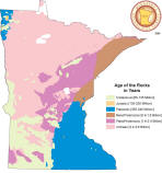
Maps and cross-sections showing different aspects of Minnesota geological features.
-
Minnesota
Digital Library: Minnesota Reflections
Browse by Contributor to find scanned maps from the Minnesota Geological Survey
- University Digital
Conservancy
All documents, reports, maps and GIS data published by the Minnesota Geological Survey
- Preliminary Geologic Map of Minnesota 1872 by N.H. Winchell (4 MB, PDF)
Mineral / Industrial Mining
Information provided by the Lands and Minerals Division of the Minnesota Department of Natural Resources (DNR).
-
Bedrock Drill Core Data
An interactive web mapping application that displays the geographic distribution of drill core samples and bedrock core samples stored at the DNR's Drill Core Library in Hibbing, Minnesota. Additional layers are available for viewing, including project footprints, several geologic layers, state minerals leasing, topography, state surface interests, etc. -
Minnesota Mineral Resources Database
A database of historical and contemporary mineral documents for Minnesota, including exploration reports, economic analyses, geophysical maps, geospatial data, drill logs, assays, etc. Explore and retrieve resources via text or map search. -
Aggregate Resource Mapping
An interactive map of the status and findings of Aggregate Resource Mapping across Minnesota. -
Mineral Exploration in Minnesota
A table details the location, company, drilling footages and other information pertaining to metallic mineral exploration drilling; the map shows areas of drilling activity and leases. -
Additional Lands and Minerals Maps and GIS Resources
A collection of spatial data and maps from the DNR Lands and Minerals Division.

Aeromagnetic
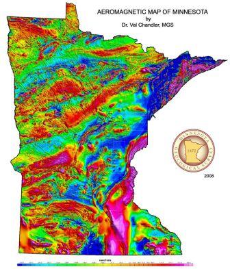
Aeromagnetic data records the total magnetic intensity anomaly relative to the earth's magnetic field, indicating the distribution and concentration of magnetic minerals (primarily iron-bearing) within the upper crust of the earth. Maps, documentation, and GIS data.
-
Aeromagnetic maps, data and reports from the Minnesota Geological
Survey

