National and International Geology Data
Geology Home |
County/Regional | Statewide |
National/International |
Educational Info
This webpage covers geologic data and maps that are national in scope, generally 1:1,000,000 to 1:2,000,000 scale, as well as national funding and coordination programs and standards. It also includes a section for finding international geology data.
GIS Data and Maps

U.S. Geological Survey
-
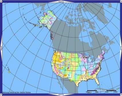
National Atlas
- Geologic map
-
1970 edition
-
Geology map (JPG)
-
Geology map (JPG)
- National Geologic Map Database
"Developing a distributed archive of standardized geoscience information for the nation." Includes a geologic map catalog, stratigraphic naming conventions, map viewing application, 'maps in progress' map application, and access to the historical topographic map collection.
- Mineral Resources On-Line Spatial Data

Links to state and national geology, geochemistry, geophysics, and mineral resource maps and data.
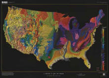
- A Tapestry of
Time and Terrain
A map that combines geology and topography. It resembles traditional 3-D perspective drawings of landscapes with the addition of a fourth dimension, geologic time, which is shown in color. Available for the lower 48 states and for North America.
U.S. Bureau of Land Management
-
Navigator
Interactive web maps of BLM activities related to mining, land use permits, rights-of-way and oil and gas leasing. May not contain data for Minnesota, but is useful for finding data in other states.

National Cooperative Geologic Mapping Program (NCGMP)
Run primarily by the U.S. Geological Survey, this program provides funding and direction for geologic mapping and modeling at the national, state and collegiate levels.

International
- OneGeology
An international initiative of the geological surveys of the world. Its aim is to create dynamic geological map data of the world available via the web. These pages provide a background to the initiative as well as up-to-date information on its progress.

