Parcels and Land Records Committee

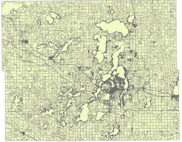
The Parcels and Land Records Committee of the Minnesota Geospatial Advisory Council works to promote research, education, implementation, and distribution of statewide guidelines surrounding the digital mapping of cadastral-related data; works to promote and facilitate the development and sharing of data throughout the state, region, and nation; and advises MnGeo.
* formerly the Digital Cadastral Data Committee and the Land Records Modernization Committee
Featured
- Parcels Dataset, compiled from open data counties
- Parcel Data Standard for Minnesota
- Proposed PLSS Point Data Standard for Minnesota
- Preserving The Public Land Survey System Hub Site
- Benefits of Shared Statewide Parcel Data
Committee Leadership
Contact committee leadership for meeting information. All meetings are open to the public.
- Chair: Preston Dowell, St. Louis County, 218-742-9824, dowellp@stlouiscountymn.gov
- Vice Chair: Pat Veraguth, Geospatial Advisory Council Survey Representative, 320-762-2964,
patv@co.douglas.mn.us
Charter, Accomplishments, and Workplan
Subcommittees
Open Parcel Data
This workgroup was officially sunset and work is now being done by the Open Data Subcommittee of the
Outreach Committee.
The goal of this subcommittee was to build an aggregated parcel data viewer, educate end users on proper parcel data usage, and work with the Outreach Committee to advocate for open data.
Boundary Alignment
Goal is to build a Public Land Survey System (PLSS) inventory map and increase awareness on why alignment is necessary.
- Chair: Preston Dowell, St. Louis County, 218-742-9824, dowellp@stlouiscountymn.gov
PLSS Remonumentation Legislation Subcommittee
Goal is to build a legislative proposal for PLSS remonumentation.
- Chair: Pat Veraguth, Douglas County, 320-762-2964, patv@co.douglas.mn.us
Committee and Subcommittee Meeting Minutes
- Past meetings (2015 and earlier)
Publications and Links
The Parcels and Land Records Committee does not endorse any commercial products which may appear in files referenced here. All information is provided for educational purposes only.
Minnesota
- Preserving The Public Land Survey System Hub Site
- Business Plan for Statewide Parcel Data Integration for Minnesota, a 2011 Federal Geographic Data Committee CAP grant to MnGeo and collaborating organizations.
- PRISM project: The Minnesota Department of Revenue modernized its Property Tax data processes and systems by developing a centralized database that standardized the collection, storage, retrieval, and distribution of property data.
- Minnesota Cadastral I-Plan draft v. 1.2, February 2003
- Cadastral and Right of Way Data Sharing Pilot Project, 2010. MnDOT pilot project
- Land Records Modernization Committee Report, June 1999, to the Minnesota Governor's Council on Geographic Information.
- Implementation Guide for Parcel-Based GIS in Minnesota Local Government, November 1997. This is a "blueprint" resource, to be used by local units of government, for successful implementation of parcel-based GIS in Minnesota.
- Identifying Land Parcels: Is a Statewide Standard Needed?, September 1997: Examines parcel identification numbers used by Minnesota's 87 counties and the need for a standardized statewide format.
- LCMR Lakeshore Proposal
- Also view an article that describes the need for lakeshore parcel mapping to support effective long-term lake management.
National
- Issues Regarding a National Land Parcel Database, Congressional Research Service, July 2009.
- National Land Parcel Data: A Vision for the Future, National Research Council, 2007.
Return to Minnesota Geospatial Advisory Council committees page

