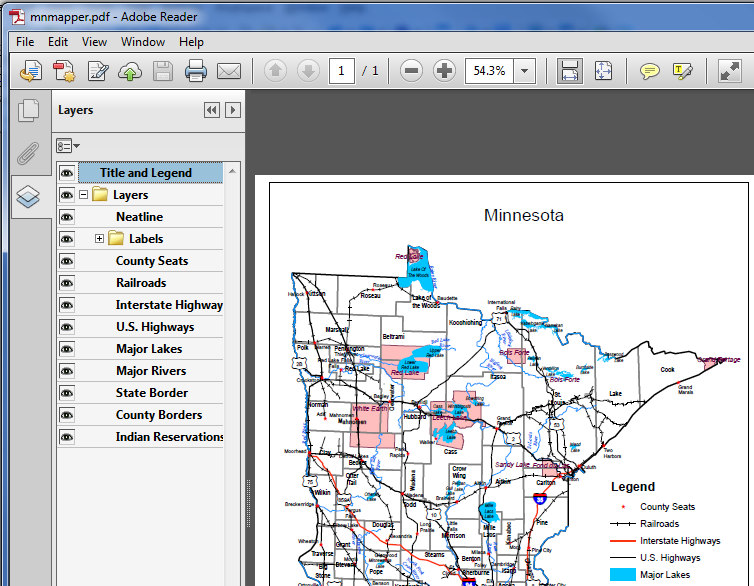
MN Mapper
Create and print a simple state map of Minnesota with your choice of county boundaries, county seats, highways, railroads, major lakes and rivers, and Indian reservation boundaries. MN Mapper is provided as a geospatial PDF that can be downloaded and read using the free Adobe Reader.
If the map appears in your browser, you likely won't see the Layers list. Use your browser's "Save" or "Save As" commands to save the map PDF file to your computer. Then re-open the PDF file in Adobe Reader. The Layers View will allow you to turn layers and labels on and off. For more information about geospatial PDFs, see Using Geospatial PDFs from the Wisconsin State Cartographer's Office.