County Highway Map Series Data
 |
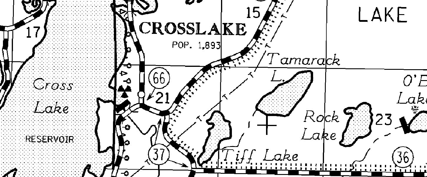
Sample of County Highway Map, Crow Wing County. Click photo to see a larger image. |
Georeferenced Image Files
These files represent the printed Minnesota Department of Transportation County Highway Map Series in georeferenced image formats (GeoTIFF and EPPL7). These images of the standard County Highway Map product can be used in GIS systems and overlain with other geographic information. The origin of this data set is MnDOT's Microstation CAD system, where all linework, feature type coding, and symbolization are stored and updated. To produce these image data sets, the data were exported from Microstation into a postscript file, then imported into GIS systems for georeferencing and further processing. Click here for more information on how this data set was created.
The County Highway Map image files are available in two formats and two areal extents. In the printed version of the maps, smaller counties are represented on a single map; larger counties are broken into multiple map sheets. The GeoTIFF format maps are distributed either as County Highway Map sheets or as full county files. The EPPL7 format maps are distributed as full county files only.
PDF Graphic Files
Simple graphic files of the above images are also available in .pdf format. These are reproductions of the paper County Highway Maps: smaller counties are displayed on a single map; larger counties are displayed on multiple map sheets. Click here to learn more about how these graphic files were created.
Downloading the Files
All Minnesota counties and county highway map sheets are listed below. Scroll down to the county, then click on the format of choice to begin the download. All data are stored on MnGeo's public data access ftp site. Data files are zipped with metadata and disclaimer notices. Questions about these data can be referred to gisinfo.mngeo@state.mn.us
See MnDOT's index map showing map sheet and county boundaries (1 MB, PDF).

