Raster Elevation Data and Shaded Relief Maps for Minnesota
Sources for raster elevation data and shaded relief maps are grouped by extent.
If you are looking for:
- Consistent resolution products for the whole state, go to the State section.
- Data beyond Minnesota, go to either the National or Global sections.
State
|
Lidar-derived.
- See the Lidar webpage
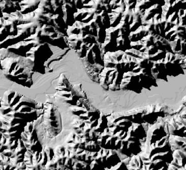
- Hillshade layer (black-and-white image) added to MnGeo's WMS image service
- Graphic showing areas covered by the hillshade - the entire state is covered except for several large lakes.
-
Web mapping application: MnTOPO basemaps include color terrain and black-and-white terrain from the
2008-2012 lidar collection.
Updated terrain from the 2021-2025 lidar collection will be made available in a replacement to MnTOPO, which is currently in development.
See the lidar webpage for updates.
- Viewer, download files, and documentation on the Minnesota Geospatial Commons
|
 |
National / Continental
-
The
National Map
(USGS)
The elevation layer of The National Map provides bare earth DEM layers in several resolutions.
-
Shuttle Radar Topography Mission (NASA,
NGA)
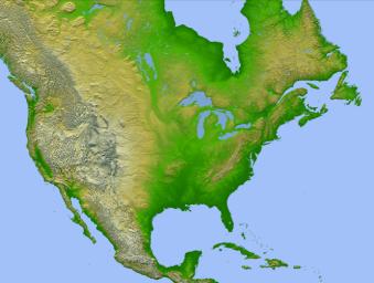
SRTM obtained elevation data on a near-global scale using a specially modified radar system onboard the
Space Shuttle Endeavour in February 2000. The U.S. is covered by both 30-meter and 90-meter
resolution data.
- U.S. Shaded Relief Maps (The National Map, USGS)
|
 |
Global
-
Shuttle Radar Topography Mission (SRTM)
Near-global coverage is available at 90-meter resolution.
-
GTOPO30 (Global 30 Arc-Second Elevation)
Approximately 1-km resolution raster data derived from a variety of sources.
-
HYDRO1k
Hydrologically correct DEM derived from GTOPO30.
-
ASTER DEM
(NASA and Japan) entire archive available at no charge to all users
Each elevation measurement point in this digital elevation model is 30 meters apart. Stereo-pair images are produced by merging two slightly offset two-dimensional images to create the three-dimensional effect of depth.
|
 |
Information Source Abbreviations:
CGIAR-CSI: Consultative Group for International
Agriculture Research - Consortium for Spatial Information
JPL: Jet Propulsion Lab
NASA: National Aeronautics and Space Administration
NGA: National Geospatial-Intelligence Agency
USGS: United States Geological Survey


