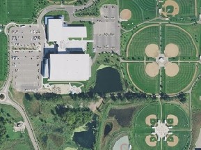
Aerial Photography of Minnesota: 2015

U.S. Department of Agriculture, Farm Service Agency
Digital aerial photography was collected for the entire State of Minnesota
during Summer and Fall 2015, as part of the Farm Service Agency's National Agriculture Imagery Program
(NAIP).
Specifications
- Statewide; 1-meter resolution
- Digital with four bands: red, green, blue, color infrared
- Orthorectification using ground control (absolute accuracy)
-
Photo dates: A seamline shapefile accompanying each county mosaic documents the date the photo was flown
along with other technical details
- County seamline shapefiles in UTM Zone 15 coordinates (all 87 county seamline shapefiles can be downloaded as one zipped file)
- Documentation
View/Download/Purchase
- MnGeo's WMS service:
View without downloading (free)
- Natural color and color infrared (CIR) are in separate layers
- Natural color and color infrared (CIR) are in separate layers
-
NRCS Geospatial Data Gateway: Download the natural color county mosaics (free)
- Filenames use county codes
- County mosaics do NOT contain the color infrared band
-
FSA's Aerial Photography Field Office: Order
imagery on physical media such as DVD, flash drive, or hard drive
- The color infrared imagery is available as quarter-quadrangle TIF tiles, not as county mosaics
- Ordering process
-
Order form and
price list for ordering imagery, including contact info if you have questions
Return to MnGeo's Aerial Photography page

