GLO Historic Plat Map
Retrieval System
This site is best viewed on a monitor with a resolution setting of 1024 x 768. It uses code supported by Netscape 4.7 or up and Internet Explorer 5 or up.
Boundary Line and MeasurementsOther Legends:
Back to History and Origin |
||
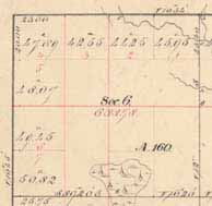
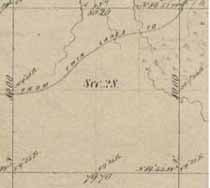 Section |
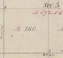 Quarter SectionAbove is the SW quarter of Section 5. It is 160 acres. |
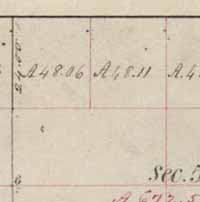 Quarter-QuarterAbove are quarter-quarters in Section 5. They are 48.06 and 48.11 acres. |
Government Lots
|
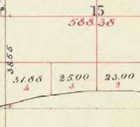
Government Lots
|
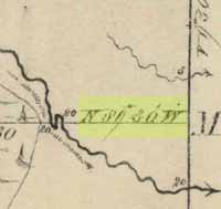 Bearing of LineThis bearing reads “N 89° 30’ W” (North 89 degrees, 30 minutes West). |
Variance
|
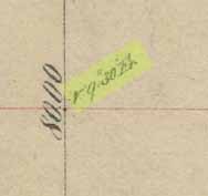
Distance Between Two Points
|
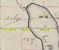
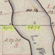 Distance of Line SegmentsIn this example, the lake width is 26.95 chains. |
 Stream WidthThis stream measures 40 links across. |
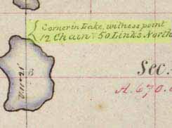 Witness CornerThe text reads, “Corner in Lake, witness point 12 Chains 50 links North.” |
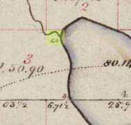
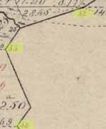 Meander PostsPost numbers 32, 33, and 34, along a lake boundary. |